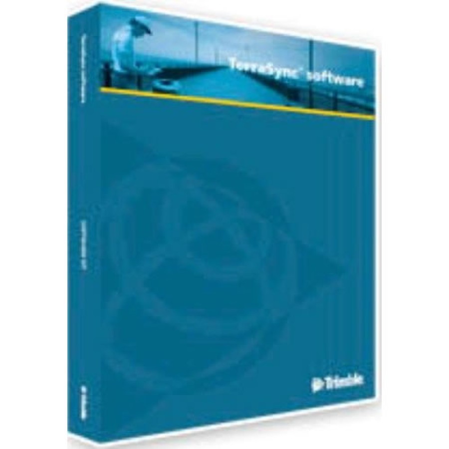
Trimble TerraSync Professional Edition Software
- Brand: Trimble
- Product Code: 45955-VG
- Availability: 10 - 14 Working Days
- Rp.28,600,000
Tags: Garmin, GPS Receiver
Field software for quality GIS data
The TerraSync™ software is a flexible data collection and data maintenance tool. Simple and effective, TerraSync software makes field work more productive. Team up TerraSync software with a field computer of your choice and a supported Trimble® GPS receiver, and you have everything you need to collect high-quality data for informed decision making.
Data collection is quick and easy, whether you're collecting identical assets, or a range of assets with many different attributes. To maintain data integrity, you can design the data structure to meet the requirements of your enterprise geographic information system (GIS). TerraSync software's flexible design and quality control functions enable you to tailor settings and data collection methods to suit your requirements. Smart time-saving features make verifying and updating data easy too.
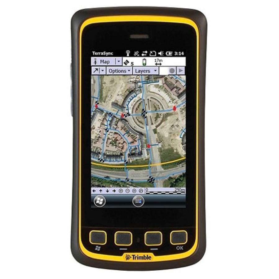
The TerraSync software Professional edition software is ideal for data collection tasks. With a simple, intuitive interface and user-defined pick-lists, you can collect any point, line, or area asset and its attribute information with speed and efficiency. It is ideal for data maintenance tasks. It's simple to upload existing GIS data for relocation, verification, and attribute and position update. You can filter and sort your data to pinpoint the feature you need to revisit, and a graphical navigation screen guides you right back to it.
For more information about the difference between the TerraSync Standard and Professional editions, check out the Mapping & GIS Product Comparison.
With Trimble's TerraSync software, you have the data you need to make informed, timely, and accurate decisions.
Features:
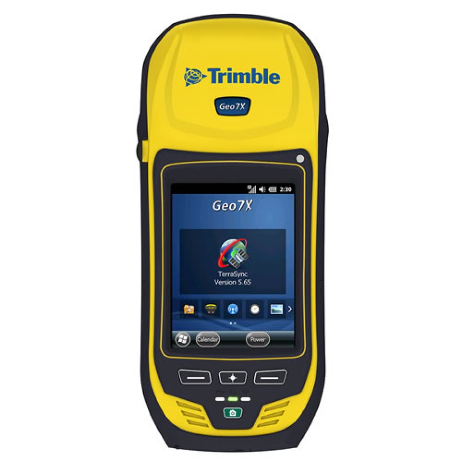
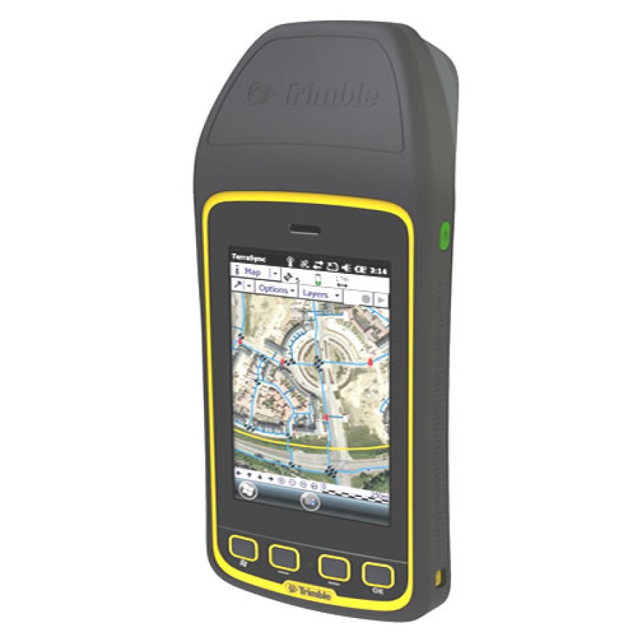
- Runs on Trimble's integrated GeoExplorer® 2008 series handhelds, Trimble's affordable
Juno™ series handhelds, the rugged Trimble - Ranger™ handheld, the Trimble Recon® series
handhelds, and Trimble Nomad™
series handhelds, or a user-supplied field computer running a Microsoft® Windows® operating
system
- Provides Accuracy-Based Logging capability, to ensure field workers only log data within the GIS
accuracy requirements
- Provides decimeter accuracy using real-time H-Star support for GeoXH 2008-series handhelds
- Includes smart time-saving features such as pre-defined pick lists, waypoint navigation, map-centric
operation, integrated camera support for Trimble handhelds and graphical status display for effortless
GIS data collection
- Offers graphical navigation, integration with turn-by-turn CoPilot® Live™ 7 Professional
and Tomtom® Navigator 6 software and real- time map display to help you navigate back to assets
with ease.
- Provides seamless GPS control for quality position data
- Transforms real-time corrected positions from the correction source datum to WGS84 for standardized
logging of positions into the SSF file.
- Supports real-time positions calculated from Glonass satellites, in combination with a Glonass-
enabled GPS Pathfinder ProXRT receiver
- Works directly with ESRI Shapefiles
- Compatible with GPS Pathfinder Office software version 4.20 and later and the Trimble GPS
Analyst™ extension for ESRI ArcGIS software version 2.20 and later for efficient data processing,
differential correction and two-way data flow from the GIS to the field
- Supports Microsoft® Windows Mobile, Windows XP, Windows Vista™, and Windows
7 32- and 64-bit operating systems
Notes: The TerraSync software Standard edition comes standard with 90 days software maintenance


